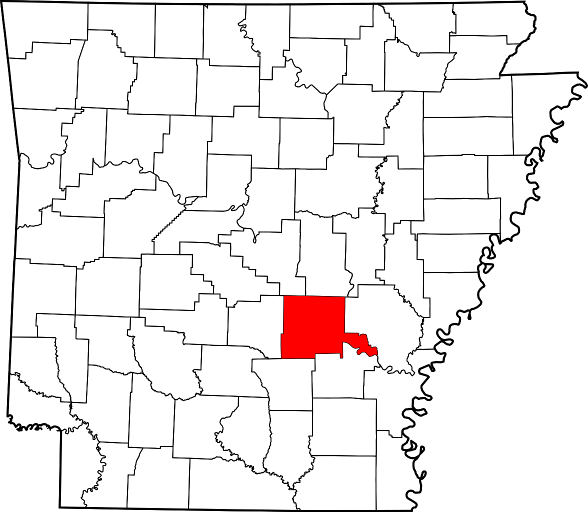
Map of Arkansas highlighting Jefferson County
In this image:
Where:
Jefferson, Arkansas, United States ![]()
When: 2006.
Uploaded: 23 Jan 2023 by Jimmy Honey.
Comments: 1, WikiTree Popularity: 1.
Original digital image: 1176 x 1024 pixels.
Do you love this photo? Maybe it's just interesting, or there's a story behind it? Please share it with the WikiTree community.

This image is open for viewing but you need to be logged in to edit the details. Please login here.
Downloaded from: https://commons.wikimedia.org/wiki/File:Map_of_Arkansas_highlighting_Jefferson_County.svg