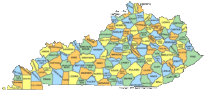
County Maps by State
- Profile
- Images
Date:
7 Apr 2014
[unknown]
Location: [unknown]
Surname/tag: US_Civil_War
Location: [unknown]
Surname/tag: US_Civil_War
This page has been accessed 575 times.
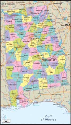
County Maps by State, with image IDs
Contents |
Alabama
County Map ID = Alabama_Resource_Page_US_Civil_War_War_Between_the_States_Project.gif
Arizona
County Map ID = Arizona_Resource_Page_US_Civil_War_War_Between_the_States.gif
Arkansas
County Map ID = County_Maps_by_State-2.gif
California
County Map ID = County_Maps_by_State-3.gif
Colorado
County Map ID = County_Maps_by_State-4.gif
Connecticut
Delaware
County Map ID = County_Maps_by_State-6.gif
Florida
County Map ID = County_Maps_by_State-1
Iowa
County Map ID = County_Maps_by_State.gif
New Jersey
County Map ID = New_Jersey_Resource_Page_US_Civil_War_War_Between_the_States.gif
This is an "orphaned" profile — there's no Profile Manager to watch over it. Please adopt this profile.
Images: 39


Collaboration
- Login to edit this profile and add images.
- Public Comments: Login to post. (Best for messages specifically directed to those editing this profile. Limit 20 per day.)
Comments
Leave a message for others who see this profile.
There are no comments yet.
Login to post a comment.